
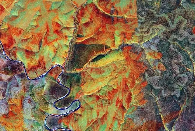
By using satellite imagery, airborne geophysics, and ground geophysical surveys, we deliver valuable insights into geological formations, mineral distribution, and potential hydrocarbon reservoirs.
Our services are designed to support exploration activities by providing high-resolution data, reducing the need for costly drilling and fieldwork while enhancing exploration efficiency.
Services
- Remote sensing data acquisition and analysis (satellite imagery, LiDAR, etc.)
- Airborne and ground geophysical survey design and execution
- Interpretation of magnetic, gravity, and electromagnetic data
- 3D geophysical modeling
- Radiometric surveys for mineral exploration
- Subsurface structural interpretation
- Target generation for mineral and oil and gas exploration
- Data integration with geological and geochemical models


